Strona główna / Odkryj aplikację /

Breakfast Brief: Storms shift south, Monsoon flood risk

09:00
28 czerwca 2024

Breakfast Brief
Storms shift south, Monsoon flood risk

Active weather will close out the work week. Severe storms will be possible from the Central Plains into the upper Mississippi Valley and Midwest. Plus, dangerous heat continues for the southern Plains and parts of the coastal Carolinas and Georgia.

Did you know?

On this day in 1955, an F4 tornado struck near Scottsbluff, Nebraska, traveling 40 miles from Henry, Nebraska, and causing significant damage. The tornado resulted in 29 injuries and 2 fatalities.

The front that sparked strong storms over the High Plains last night will push east, and the severe weather threat will extend from the Central Plains into the upper Mississippi Valley and into the Midwest. Cities such as Wichita, Kan., Kansas City, Omaha, Neb., and Des Moines, Iowa, could see large hail, damaging winds, and a couple of tornadoes today and into tonight.

Strong storms possible

Drier weather is expected for the Four Corners region today, but the heat will continue to spread across the Southwest and into the Southern Plains. Humid conditions in cities like Dallas and Oklahoma City will send our "feels-like" temperatures soaring into the triple digits. Dangerous heat will also continue for coastal Georgia and the Carolinas.

Tropical update

Two areas of interest, one in the western Caribbean and one further out in the Atlantic, have piqued our interest. While the tropical wave in the western Caribbean has a low chance of development, it will move over the Gulf of Honduras and emerge over the southern Gulf of Mexico this weekend, where conditions may briefly be more favorable for it to become a tropical depression or storm.

The tropical wave located a few hundred miles west-southwest of the Cabo Verde Islands has a high chance of development. Conditions will be favorable for development this weekend and we may be looking at a tropical depression or storm by the second half of the weekend. We will be monitoring this wave closely.

The news we're covering today:

  • A tropical depression or storm may form this weekend
  • Severe threat from the central Plains to the Midwest
  • Dangerous heat continues for the southern Plains and coastal Southeast.

Did you miss these?

Two tropical waves to watchZobacz więcej
Melting ice in AntarcticaZobacz więcej
Recent LightningRadar upgradesZobacz więcej

App news & updates

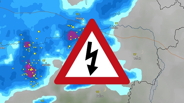
When thunder roars, head indoors! Track lighting with our LightningRadar. Trust us, it comes in handy during the summer. Plus, the latest upgrade to the LightningRadar now extends the visibility of lightning activity to the past 90 minutes

Pogoda & Radar

www.pogodairadar.pl

facebooktikTokyouTubeKontakt
Polityka prywatności | Stopka redakcyjna